Historical Maps
Map from 1789 - Europe at the Time of the Revolution
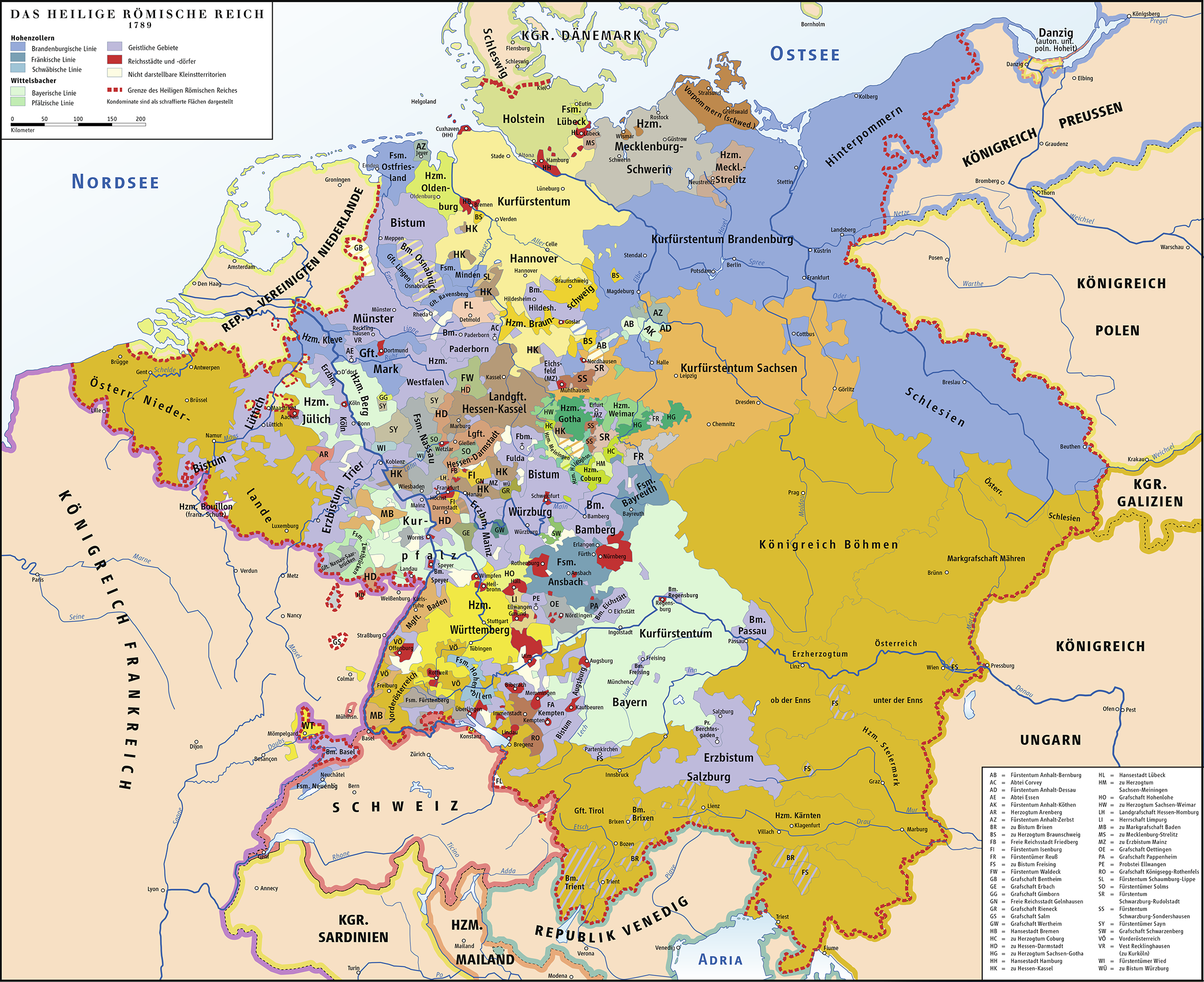
Europe in 1789 - the year of the French Revolution. The map shows the political borders during Etienne Cabos' lifetime.
Map from 1777 - Montauban Sheet
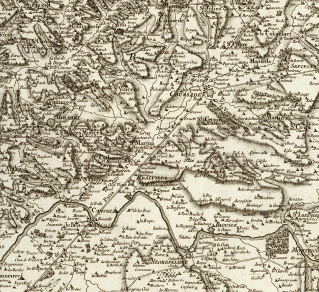
(Carte de France levée par ordre du Roy). No. 37 (Montauban). Aldring sculp. et Bourgoin scrip. (1777)
Document Information
| Field | Value |
|---|---|
| Title | Carte de France levée par ordre du Roy |
| Sheet | No. 37 (Montauban) |
| Creator | Aldring sculp. et Bourgoin scrip. |
| Year | 1777 |
| Source | David Rumsey Map Collection |
Description
This historical map shows the Quercy region in southwestern France, where the town of Caussade is located - the birthplace of Etienne Cabos. The map was commissioned by the French King and is part of the large-scale mapping of France in the 18th century.
Relevant Places on the Map
- Caussade - Birthplace of Etienne Cabos (1737)
- Montauban - Capital of the southwestern Reformed, important Protestant center
- Quercy region - The "white Quercy" was known for its limestone hills and had been an area with a strong Protestant presence since the Reformation
Historical Context
The map was created at a time when the Huguenots in France were still suffering from severe restrictions. Although the Edict of Fontainebleau (1685) had revoked religious freedom, secret Protestant communities persisted in regions such as Quercy.